
A map/summary of the 11 studios we have been through in the last 30 days..


 This is my second version of “imbedded information”. The expanding urban areas in Jaeren is also a part of the expanding urban areas in the rest of the world. Agricultural land is under pressure. The urban citizens of Jaeren also affect the rest of the world through their ecological footprint caused by food- production. Is it possible to make a alliance between the expanding urban areas and the lack of energy/ecological solutions?
2 possible projects:
- green infrastructures for better life quality in the city
- green infrastructures as a research object in the wet climate
how the public-green infrastructure should be planned and developed in order to keep its function during the seasons? Specially during WET winters, or interchanging seasons... western Norway is one of the wettest regions in Europe – rain being more common than snow in winter...
I wanted to focus on this issue some time ago....just needed a motivation or argumentation for: why am I dealing with public spaces in Jaeren region?....then...all the population growth and oil impact on social welfare research started....i needed some specific fact which could lead me to public-green infrastructure...but maybe the fact of wet climate, and also that the climate is warming in general, could be a good reason for research and some solutions?...
 The program, titled "Naturreperatørene" was shown on NRK1. This element was shown a few pages of the Wetlands group's activity in Hedmark.This is a very interesting project that shows that it is possible with simple measures to give something back to nature. This is a Norwegian software and is not texted in English, but I think the pictures speak for themselves. Very exciting:)


 The city of Stavanger, Sandnes and the towns along the railway are still growing. Place is needed.
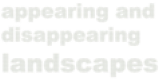
 The North Sea is one of the busiest sea-scapes in the world surrounded by land and human activity. In Imbedded information I unfold more actors hidden under the surface, but I also realize that the the fi eld area must be enlargened to include the whole drainage bassin of the North Sea where 184 million people live! The actors on land become as important influencing the north sea ecostystem. In try to geolocate all the actors.
 I have found the weak voice of Jæren and followed its footsteps through the landscape to find its meaning. Then I can hear what it is trying to tell me and ask questions.
 These are the constellations that we might see if we could see them


